![]()
![]()
![]()
Use LEFT and RIGHT arrow keys to navigate between flashcards;
Use UP and DOWN arrow keys to flip the card;
H to show hint;
A reads text to speech;
24 Cards in this Set
- Front
- Back
|
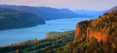
penninsula |
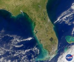
A piece of land that projects into a boady of water and is connected with the main land. |
|
|
island |
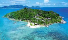
A land mass; smaller then a continent surrounded by water. |
|
|
mountain |
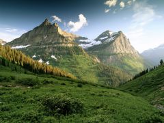
A natural elevation of the earths surface haveing considerable mass; height greater then a hill. |
|
|
plateau |
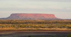
a large relatively flat , but elevated area of land. |
|
|
lake |
a large inland boady of water ; Ex. Smith Mountain Lake. |
|
|
Plain |
A large relatively flat area of land. |
|
|
Hill |
A well-defined natural elevation smaller then a mountain. |
|
|
Costal Range |
Rugged mountains along the Pacific Coast that streh from California to Canada and contains fertile valleys. |
|
|
Basin and Range |
Located West of the Rocky Mountains and E ast of Sierria Nevada and the Cascades Varrying elevation and isolated mountain ranges has death valley lowest point in North America. |
|
|
Rocky Mountains |
Located west of the Great Plains and East of the Basin and Range rugged mountains that strech from Alaska to almost Mexico continental divide-determine wich way rivers flow. |
|
|
Great Plains |
Located west of the interior lowlands and East of the Rocky Mountains flatland that gradually increases in in elevation; grasslands. |
|
|
Interior lowlands |
Located west of the Appalachian Mountains and east of the Great Plains Rolling flatland broad and grassy hills. |
|
|
Appalachin Highlands |
Located west of the Coastal Plain extending from eastern Canada to western Alabama; includes Piedmont old eroded mountains. |
|
|
Costal Plains |
Located along the Atlantic Ocean and Golf of Mexico broad lowlands that provide many excellent harbors. |
|
|
Canadian Shield |
Wrapped around the Hudson Bay in a horseshoe shape hills worn by erosin and hundreds of lakes caused by glaciers. |
|
|
Atlantic Ocean |
Served as a highway for early explorers and settlers. |
|
|
Pacific Ocean |
An early exploration destenation. |
|
|
Mississippi River |
Used to transport industrial and farm products most famous river |
|
|
Missouri River |
( same as above ) longest river |
|
|
Ohio River |
gateway to the west |
|
|
Columbia River |
Explored by Louis and Clark |
|
|
Colarado River |
Explored by Spanish |
|
|
Rio Grande River |
Forms a border batween Mexico and the Uited States. |
|
|
St. Lawrence River |
Northeastern border w/ Canada and cannects the Great Lakes to the Atlantic Ocean. |