![]()
![]()
![]()
Use LEFT and RIGHT arrow keys to navigate between flashcards;
Use UP and DOWN arrow keys to flip the card;
H to show hint;
A reads text to speech;
21 Cards in this Set
- Front
- Back
|
Mississippi River |
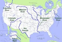
Used to transport farm and industrial products (Most Famous) |
|
|
Atlantic Ocean |
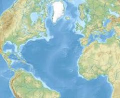
Served as a highway for early settlers,immigrants and explorers |
|
|
Pacific Ocean |
Early exploration destination |
|
|
Missouri River |
Used to transport farm and industrial products (longest river) |
|
|
Ohio River |
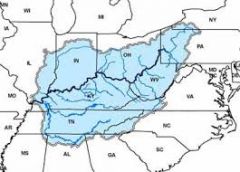
Gate way to the west |
|
|
Columbia River |
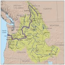
Exsplored by Lewis and Clark |
|
|
Colorado River |
Exsplored by spainish exspoler (Corado) |
|
|
Rio Grande River |
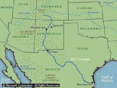
Form border from Mexico and United States |
|
|
St. Lawrence River |
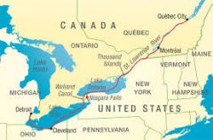
Northeastern border with Canada connects Great Lakes with Atlantic Ocean |
|
|
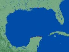
Gulf Of Mexico |
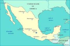
Provided French and Spainish with a route to Mexico and America |
|
|
Great Lakes (HOMES) |
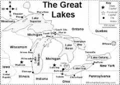
Inland Port Cities ;Huron ;Ontario ;Michigan ;Erie ;Superior |
|
|
Lake |
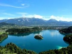
A large inland body of water ;Ex.Smith Mountain Lake |
|
|
River |
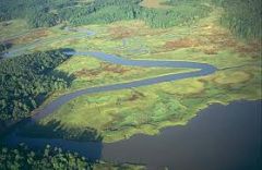
A large natural stream of water-empty into a ocean or lake |
|
|
Tributary |
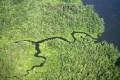
A smaller stream that flows into a river/ocean |
|
|
Gulf |
A large area of sea or ocean partially enclosed by a lake |
|
|
Bay |
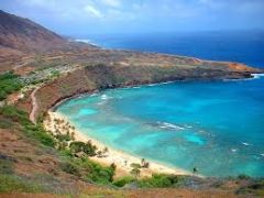
A body of water partially enclosed by land;Typically smaller than a gulf |
|
|
Mountian |
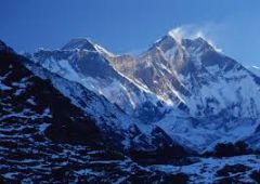
A natural elevation of the earths surface having considerable mass;heigth greater than a hill |
|
|
Hill |
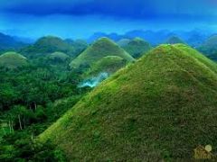
A well defined natural elavation smaller than a mountian |
|
|
Plains |
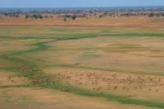
A large definetly flat area of land |
|
|
Plateau |
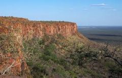
A large,repetitively flat but elavated area of land |
|
|
Island |
A land mass smaller than a |